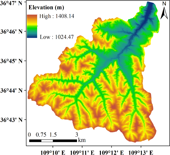
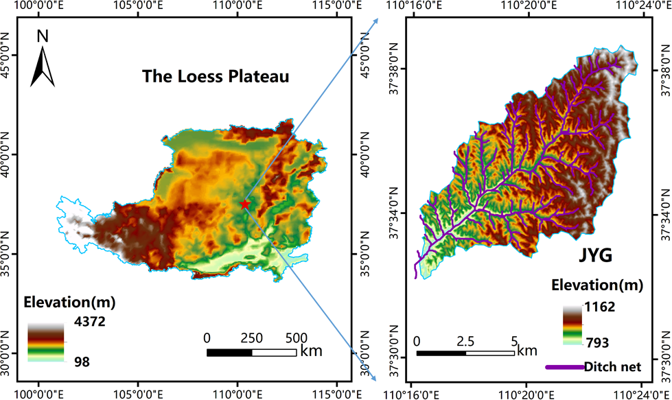
Extreme meteorological events occur frequently, and changes in the spatial pattern of land use have greatly affected the soil erosion process in the hilly and gully region of the Loess Plateau. As a typical governance watershed in the hilly and gully area of the Loess Plateau, the Jiuyuangou watershed has experienced significant changes in land use and land cover (LULCC) in the past ten years due to the conversion of farmland to forests, economic construction, and abandonment of cultivated land. However, the evolution process of soil erosion under LULCC in the watershed is unclear. This study uses satellite images to extract information on LULCC in the watershed and the Chinese soil loss equation (CSLE) model to evaluate the temporal and spatial evolution of soil erosion in the watershed from 2010 to 2020. The main results showed that: (1) The continuous vegetation restoration project in the watershed reduced soil erosion from 2010 to 2015; however, the frequency of extreme rainfall events after 2015 reduced its impact. The annual average soil erosion modulus decreased from 10.85 t ha –1 yr –1 in 2010 to 8.03 t ha –1 yr –1 in 2015, but then increased to 10.57 t ha –1 yr –1in 2020; (2) The main LULC type in the Jiuyuangou watershed is grassland, accounting for 62.23% of the total area of the watershed, followed by forest land (28.41%), cropland (6.77%), building (2.49%), and water (0.09%). The multi-year average soil erosion modulus for land use type is cropland > grassland > building > forest land; (3) Significant spatial correlations between soil erosion change and LULCC for common ‘no change’ and common ‘gain’ occurred in the settlements, roads, valleys, and areas near the human influences with good soil and water conservation, but not other regions due to the influence of climatic factors (heavy rain events). This study provides a scientific reference for planning and managing water and soil conservation and ecological environment construction in the basin.